Building date:
Original use:
Corner structures: Gray limestone and red sandstone
Mortar application and content:
Types and uses of stones: Large fieldstone.
Types and choice of windows:
Structures with similar masonry details:
Masons who worked on building:
Unique features:
Map views courtesy Google Maps. Address is Google Earth confirmed; 43°14'20.92"N 77°00'11.85"W. Current owner of record, Poole as of the 2019 Tax Roll.
Town of Sodus and Wayne County Maps.
Editor's Note: The Roudabush Survey misspelled the road name as 6599 Sargent Rd., whereas the correct spelling is Sergeant. This structure is not considered to be an authentic cobblestone structure.
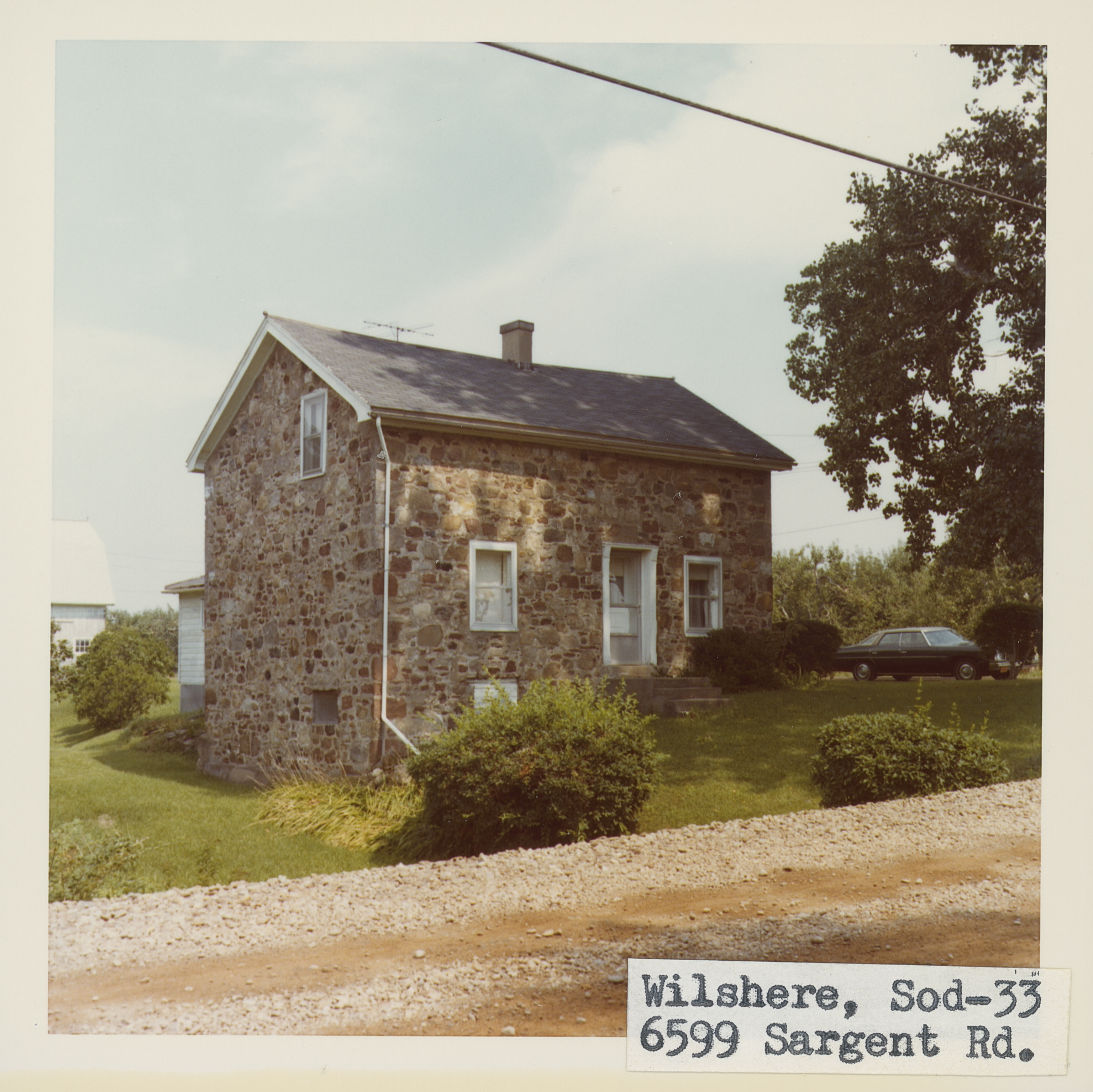 Sod_33_1.jpg | 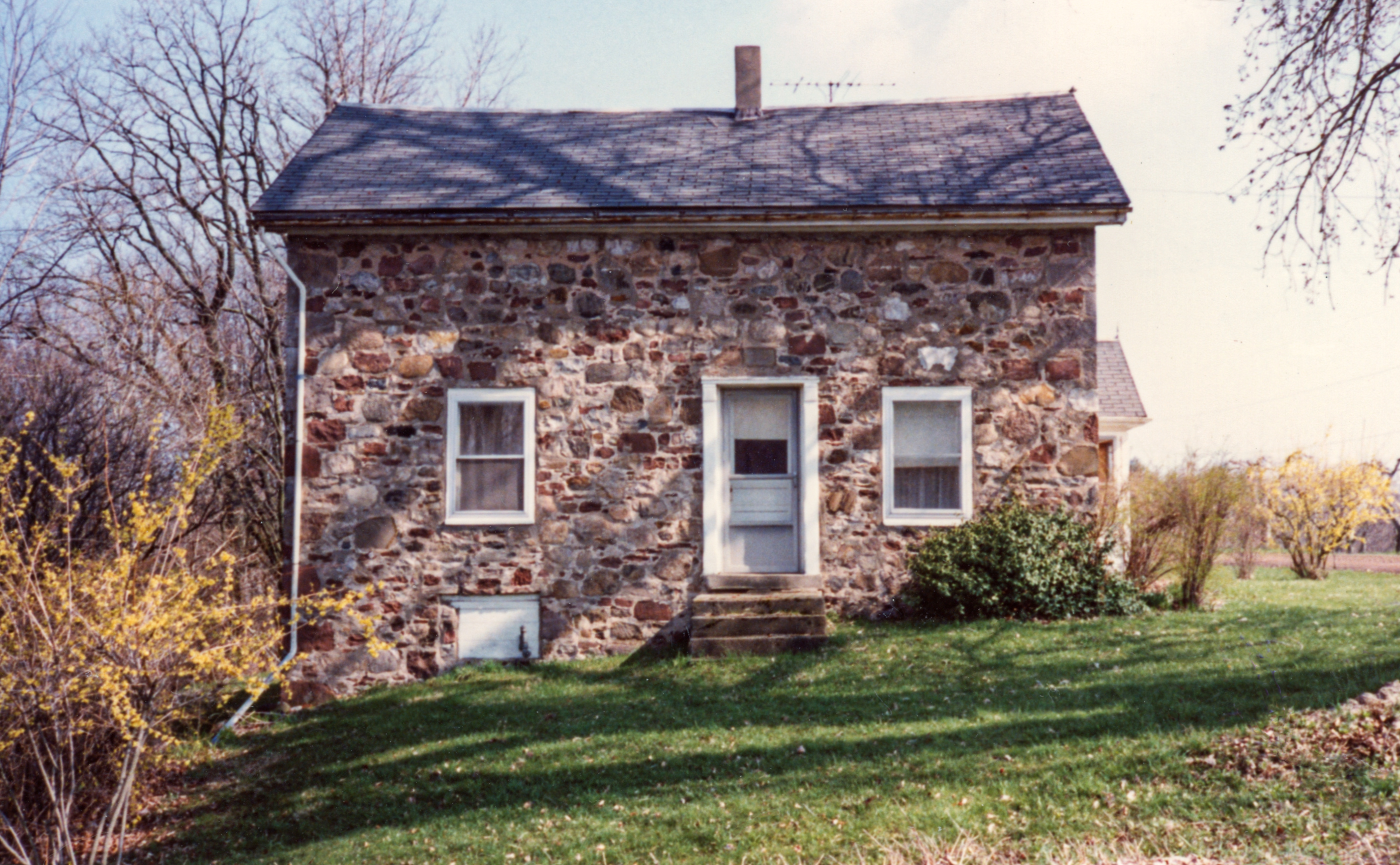 Sod-33 Wilshere 1.jpg | 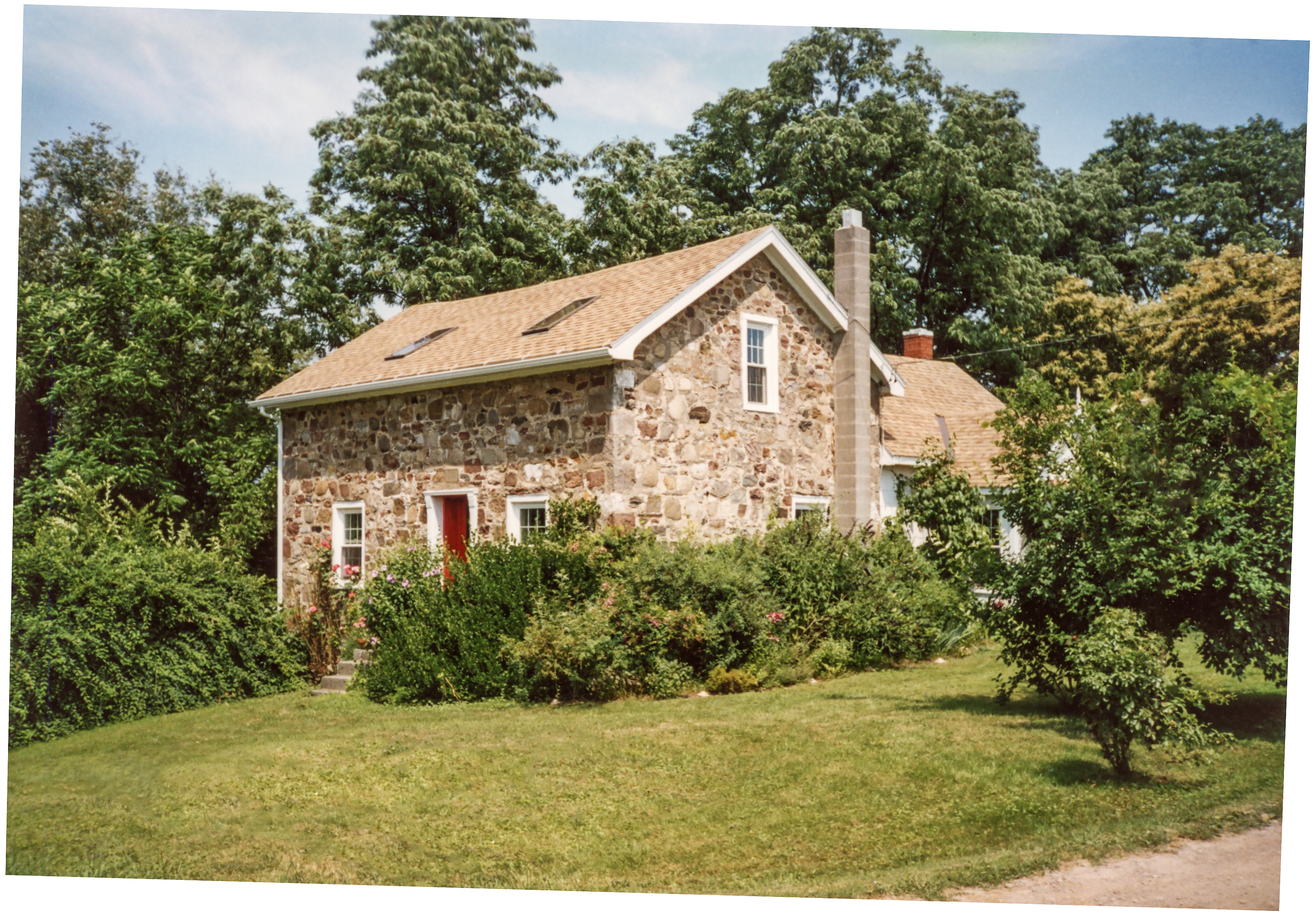 Sod-33 Wilshere 2.jpg |
¹ Image courtesy Cobblestone Museum.
